
|
I like to publish my my work through Linked In articles. Check them out below! |
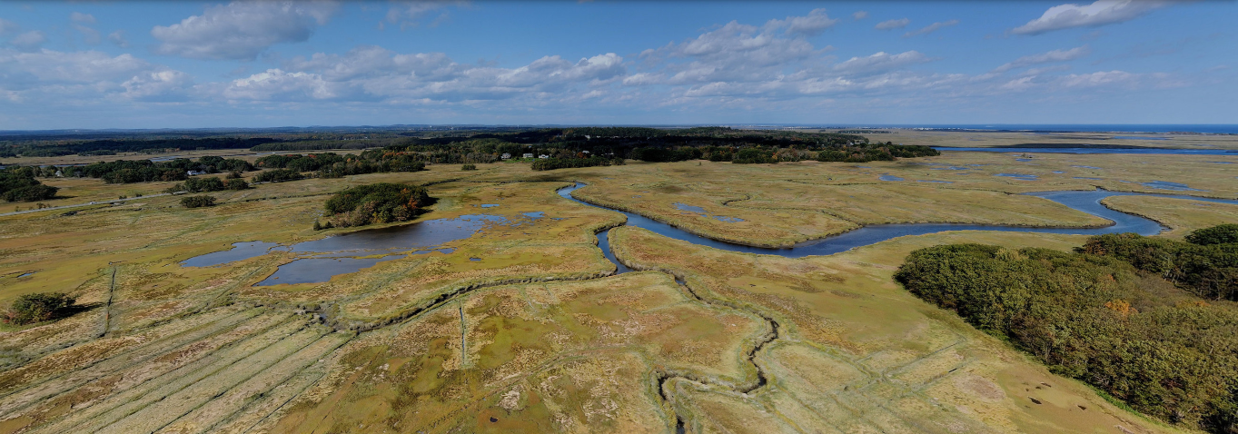
How Low Should You Go?A look at our drone work at the Mass Audubon Rough Meadows Sanctuary and how we are using drones to evaluate Spartina distributions.
|

Gypsy Moths vs. DronesAssessing the damage of Gypsy Moth infestations at the Tompson Street Reservation in Gloucester, MA with drones and QGIS.
|
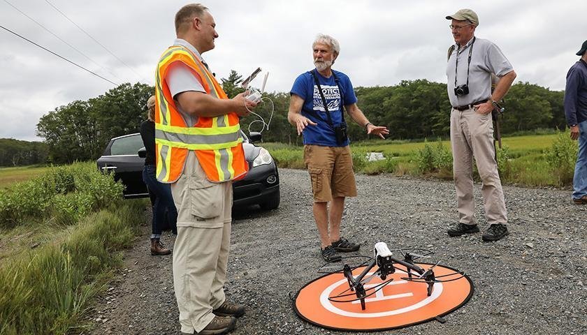
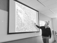
Students and DronesTeaching is a the heart of what I do. Here is an article about our students using drones.
|
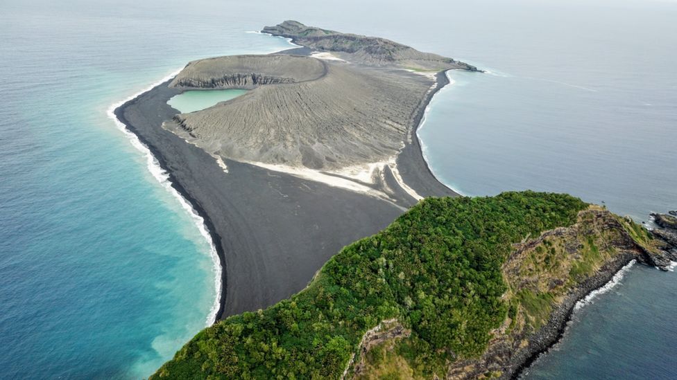
Mapping New Lands in the South PacificIts not often that scientists these days get to map something new. However, a rare opportunity has recently arisen out of the sea. One our CUES students, Therese Ohman was there, assisting NASA in gathering samples and scientific data.
|
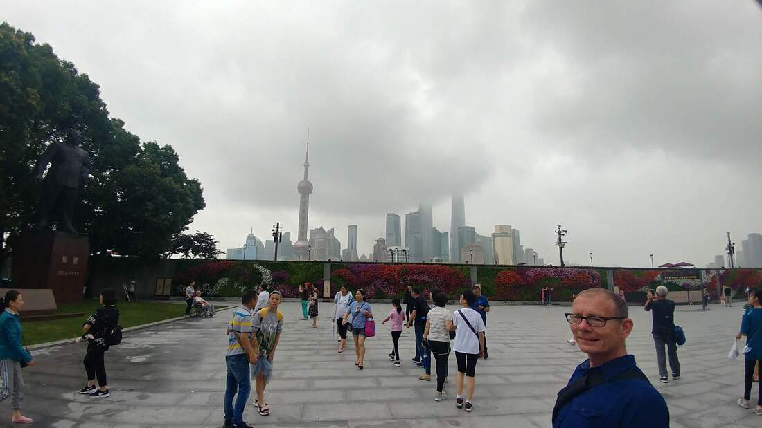
4 Days in ShanghaiIn the June of 2019, I was one of the Keynote Speakers at the 2nd Annual Urban Ecological Sustainability and Security Workshop at Fudan University in Shanghai.
|
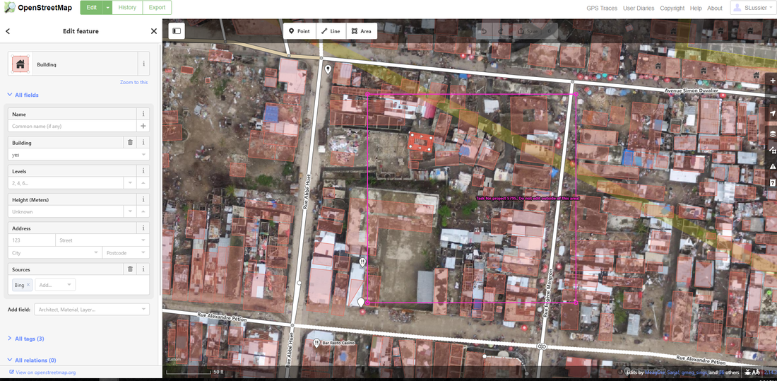
Humanitarian Open Street Map Crisis MappingAs part of their UES-225 Geographic Information System Lab work this week, 32 Suffolk students crated map data with HOT Open Street Map technology in a Service Learning Mapathon. Both groups worked on projects requested by the USAID's Women Connect, which is a group that aims to bridge the digital gender divide and increase women’s access and usage of technology to improve their everyday lives.
|
|
Here is an Article in the Suffolk Journal about our drone program: Professor inspires student’s passion for drones |
|